Motorcycles Banned From Lincolnshire Route
The Viking Way in Lincolnshire is a popular byway for two and four-wheel vehicles, although restrictions are now in place after bikes were partly blamed for damage

Two and four-wheeled vehicles are restricted from Lincolnshire’s Viking Way this autumn and winter. The move comes after significant damage and erosion have occurred after a fairly wet summer and early autumn.
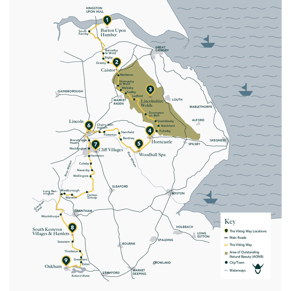
The Viking Way starts near Oakham in the county of Rutland and runs north through Lincolnshire, taking in the best of the Lincolnshire Wolds, and ends on the banks of the River Humber. In total, it covers 147 miles and was officially opened in October 1976.

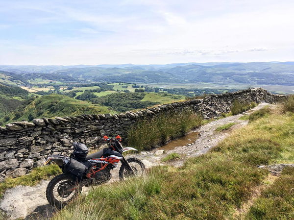
While it is officially referred to as a long-distance walking trail, some parts of the Viking Way are (or have been) open to traffic, including motorcycles and 4x4s. It seems as though some of those sections of the route have been damaged, forcing the local council to impose Travel Restriction Orders (TROs).
The local councillor, Richard Davies, is reported to have called the route "vital recreational areas" going on to say the Viking Way holds “both cultural and environmental importance”. He goes on to say that the ruts, some of which he claims at up to a metre deep, are preventing walkers, cyclists and horse riders from using the trail. The BBC quotes Mr Davies as saying sections of the route had experienced "significant surface deterioration" over the last few years because of the "recreational" use of motorised vehicles like 4x4s and motorcycles.

The BBC reports that more than 50 objections to the TROs were received, with some claiming that much of the damage was down to agricultural traffic. With motorcycles, especially the kind that people ride on green lanes with, being much smaller and lighter than off-road cars and trucks, the move does seem a little heavy-handed to those motorcyclists who legally and respectfully use the route.
If you were planning to ride the Viking Way this autumn, it’d be best to check with your local council or the Trail Riders Fellowship (TRF) to find out which parts of your ride might be affected by any TROs.
We’ve reached out to the TRF for comment, we’ll update this page once they respond.
The four areas of the Viking Way affected by TROs are:
- Thackson’s Well Farm at Long Bennington southwards to the A52 west of Sedgebrook village
- Mill Farm in the parish of Sedgebrook to Woolsthorpe Lane near Stenwith
- Saltby Airfield to Sproxton Road to the west of Skillington
- Sproxton Road to Buckminster Lane to the west of Skillington


